How to prevent forest fires using mitigating measures of climate change (Sp)
You can search for courses, events, people, and anything else.
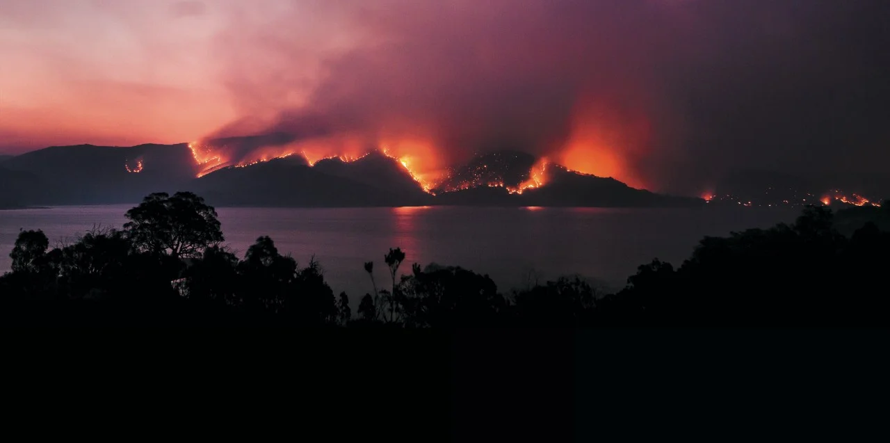
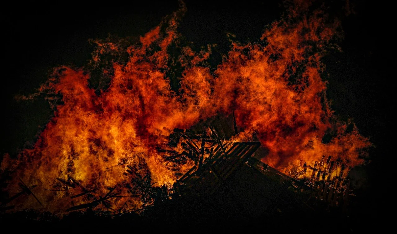
Every year, bushfires blaze across Australia and leave destruction in their wake. But thanks to a new tool developed by Western Sydney University and University of Wollongong researchers, fire risk in the future may be much easier to predict. The team’s ‘Prescribed Burning Atlas’ is the most detailed look yet at the effectiveness of prescribed burning for mitigating bushfire in Australia.
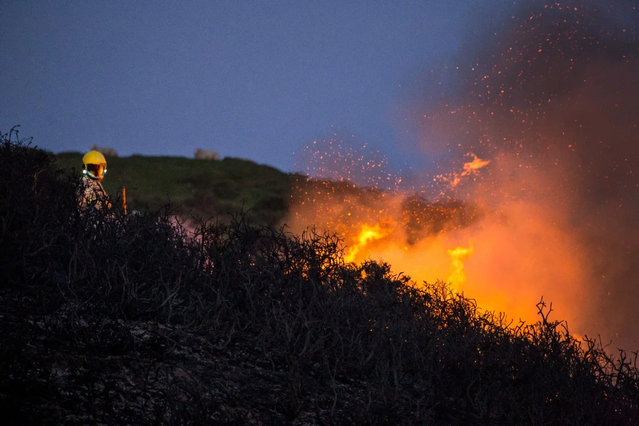
Australian fire services carry out controlled or ‘prescribed’ burns in low fire risk months to reduce the amount of fuel built up in bushland. Currently, fire agencies plan these burns years ahead of schedule, assessing a range of factors including land use, population density, vegetation and weather conditions. But until now, says Western Sydney’s Associate Professor Matthias Boer, the effectiveness of prescribed burning in preventing wildfire has been presumed, rather than studied.
“It’s expensive to deploy resources for controlled burning, while the effectiveness in terms of risk reduction is still relatively poorly quantified,” says Boer.
“This project will allow agencies to take more informed decisions about how their management dollar can go furthest.”
With Dr Hamish Clarke, who holds a joint appointment as a Research Fellow at Western Sydney University and the University of Wollongong, along with Associate professor Trent Penman, and Brett Cirulis at the University of Melbourne, Dr Owen Price and project leader Prof. Ross Bradstock at the University of Wollongong, Boer is developing a computer tool that maps where prescribed burning may be most effective.
Need to know
- Prescribed burning is thought to reduce the risk of a bushfire spreading
- A computer tool is modelling the effects of prescribed burns
- The tool based on 13 case study landscapes across southern Australia
“The end result is thousands of simulated wildfires, which vary in size, intensity and impact, depending on all these factors. It’s our job to make sense of all of this,” explains Clarke.
The team has been able to produce risk estimates for a range of different outcomes, for instance how many houses would be lost in different conditions, or how effective prescribed burning would be in different areas.
The project is also looking at how climate change may affect prescribed burning, by simulating intensified hot and dry, high-wind weather conditions that are projected in some areas.
The team is working with potential users of the Prescribed Burning Atlas, including major fire management agencies across Australia, and is planning to complete a prototype ready for testing in late 2019, with a national launch scheduled for 2020. End users are enthusiastic about the type of information the atlas will provide.
“The ability to quantify risk to life and property has the potential to help land managers to optimise burning strategies to achieve the best cost-benefits,” says Dr Felipe Aires, Fire Science Interpretation Officer at the NSW National Parks and Wildlife Service. “Ultimately, we hope that the atlas will help fire managers tailor decisions about burning programmes to optimise risk reduction.”
The atlas is the first example of a fire risk reduction project being attempted on a nation-wide scale, says Boer, and the team’s approach could even be used to build similar tools overseas, including in the Mediterranean and the United States.
In Australia, one of the most catastrophic bushfire events was Black Saturday, which claimed the lives of 173 people. The 2009 Victorian Bushfires Royal Commission which followed recommended a 5% annual prescribed burning target of the state’s public land. “Now we have a tool to objectively assess how much risk reduction can be achieved under this or other targets across the diversity of the Australian landscapes” says Boer.
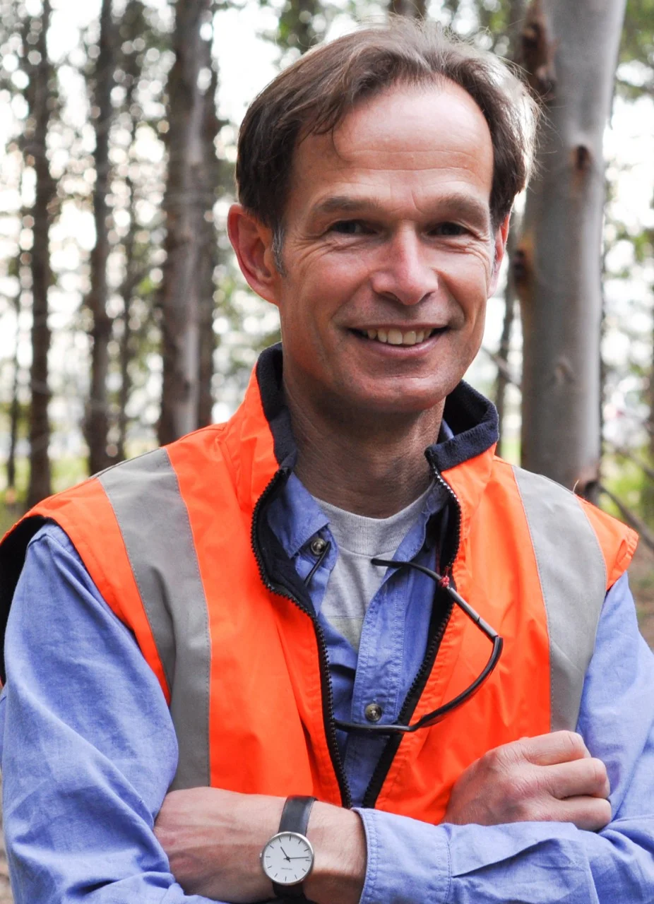
Meet the Academic | Associate Professor Matthias Boer
Associate Professor Matthias Boer's research interest focuses on the landscape ecology and management of fire-prone environments. He is particularly interested in the biophysical basis for spatial variation in current and future fire regimes, and in the mechanisms and feedbacks by which fire may mediate, reinforce or constrain impacts of changing climate, [CO2] or land use on ecosystem functions and services such as regulation of water and carbon fluxes or biodiversity conservation.
Matthias joined the Hawkesbury Institute for the Environment in 2011, after previous research positions with Cemagref in France (2010), The University of Western Australia (2004-2010), the CSIC - Arid Zone Research Station in Spain (1993-1999; 2001-2003), and CSIRO's Centre for Arid Zone Research in Central Australia (1999-2001). Matthias received his PhD in Physical Geography (1999) and his MSc in Physical Geography and Landscape Ecology (1986) from Utrecht University, The Netherlands.
Related Articles
Credit
This research was funded by the Bushfire and Natural Hazards Cooperative Research Centre and the NSW Bushfire Risk Management Research Hub.
© Robyn Macrae /EyeEm/Getty Images © Zoltan Tasi/Unsplash © Neil Thomas/Unsplash
Future-Makers is published for Western Sydney University by Nature Research Custom Media, part of Springer Nature.